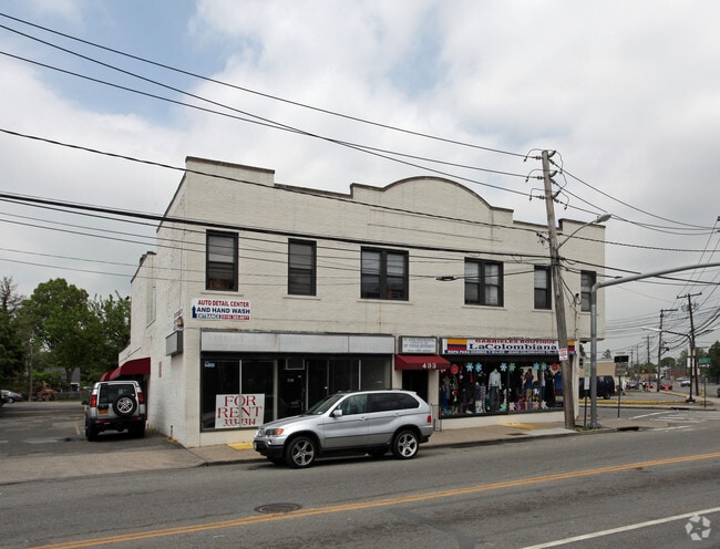
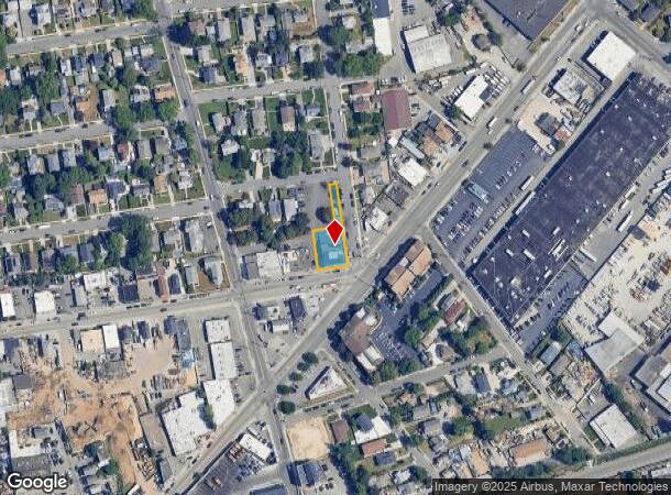
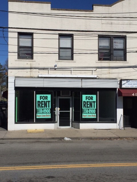
Property Record
491 Maple Ave, Westbury, NY 11590
NEARBY LISTINGS FOR SALE OR LEASE
Property Detail
491 Maple Ave
2255-10-238-00-0110-0
TOWN #2 SCH DIST 001
Commercialnec
Nassau
X
New York
36059C0140G
110
2025
0.25 AC
2025
Eastern Nassau
304100
Long Island (New York)
18,789 SF
Nassau County-Suffolk County, NY
DEMOGRAPHICS near 491 Maple Ave
1 Mile
3 Mile
5 Mile
2024 Total Population
23,287
117,929
412,930
2029 Population
22,780
116,100
406,151
Pop Growth 2024-2029
(2.18%)
(1.55%)
(1.64%)
Average Age
39
42
41
2024 Total Households
6,527
36,491
127,505
HH Growth 2024-2029
(2.36%)
(1.55%)
(1.69%)
Median Household Inc
$109,855
$123,860
$123,826
Avg Household Size
3.20
3.00
3.10
2024 Avg HH Vehicles
2.00
2.00
2.00
Median Home Value
$543,512
$657,360
$662,509
Median Year Built
1955
1956
1954
Nearby Places
Map Layers
Map Styles
 Street
 Aerial
- Restaurants
- Banks
- Shops
- Fitness
- Groceries
PUBLIC TRANSPORTATION
TRANSIT/SUBWAY
Westbury Station (Port Jefferson Branch - Long Island Rail Road)
DRIVE
WALK
Distance
Westbury Station (Port Jefferson Branch - Long Island Rail Road)
1 min
8 min
0.4 mi
COMMUTER RAIL
Westbury Station (Port Jefferson Branch - Long Island Rail Road)
DRIVE
WALK
Distance
Westbury Station (Port Jefferson Branch - Long Island Rail Road)
2 min
8 min
0.4 mi
Carle Place Station (Port Jefferson Branch - Long Island Rail Road)
DRIVE
WALK
Distance
Carle Place Station (Port Jefferson Branch - Long Island Rail Road)
3 min
1.4 mi
AIRPORT
John F Kennedy International
DRIVE
WALK
Distance
John F Kennedy International
30 min
18.3 mi
LaGuardia
DRIVE
WALK
Distance
LaGuardia
32 min
20.2 mi
Westchester County
DRIVE
WALK
Distance
Westchester County
62 min
40.8 mi
Freight Ports
NY - Red Hook Container Terminal
DRIVE
WALK
Distance
NY - Red Hook Container Terminal
44 min
28.3 mi
SALE & LEASE HISTORY
LISTING DATE
SALE/LEASE

Mar 08, 2018
For Lease
Nearby Properties
Address
Land Use
TOTAL SIZE
Lot Size
Zoning
Address
Land Use
TOTAL SIZE
Lot Size
Zoning
1,027,545 SF
15.65 AC
Address
Land Use
TOTAL SIZE
Lot Size
Zoning
729,696 SF
579.18 AC
Address
Land Use
TOTAL SIZE
Lot Size
Zoning
419,282 SF
57.46 AC
Address
Land Use
TOTAL SIZE
Lot Size
Zoning
187,225 SF
15.35 AC
Address
Land Use
TOTAL SIZE
Lot Size
Zoning
1,188,742 SF
11.93 AC
Address
Land Use
TOTAL SIZE
Lot Size
Zoning
181,472 SF
168.80 AC
Address
Land Use
TOTAL SIZE
Lot Size
Zoning
2,835 SF
239 AC
Address
Land Use
TOTAL SIZE
Lot Size
Zoning
170,920 SF
27.82 AC
Address
Land Use
TOTAL SIZE
Lot Size
Zoning
Address
Land Use
TOTAL SIZE
Lot Size
Zoning
6,120 SF
226.22 AC
Address
Land Use
TOTAL SIZE
Lot Size
Zoning
822,113 SF
26 AC
Address
Land Use
TOTAL SIZE
Lot Size
Zoning
568,086 SF
21.99 AC
Address
Land Use
TOTAL SIZE
Lot Size
Zoning
493,535 SF
5.88 AC
Address
Land Use
TOTAL SIZE
Lot Size
Zoning
352,730 SF
41.04 AC
Address
Land Use
TOTAL SIZE
Lot Size
Zoning
111,756 SF
21.24 AC
Address
Land Use
TOTAL SIZE
Lot Size
Zoning
92,466 SF
8 AC
Address
Land Use
TOTAL SIZE
Lot Size
Zoning
152,783 SF
51.20 AC
Address
Land Use
TOTAL SIZE
Lot Size
Zoning
254,845 SF
22.28 AC
Address
Land Use
TOTAL SIZE
Lot Size
Zoning
1,068,978 SF
56.12 AC
Address
Land Use
TOTAL SIZE
Lot Size
Zoning
143,519 SF
20.67 AC
Address
Land Use
TOTAL SIZE
Lot Size
Zoning
35,718 SF
22.15 AC
Address
Land Use
TOTAL SIZE
Lot Size
Zoning
432,954 SF
26.25 AC
Address
Land Use
TOTAL SIZE
Lot Size
Zoning
331,084 SF
26.95 AC
Address
Land Use
TOTAL SIZE
Lot Size
Zoning
17,292 SF
60.83 AC
Address
Land Use
TOTAL SIZE
Lot Size
Zoning
417,547 SF
19.25 AC
Address
Land Use
TOTAL SIZE
Lot Size
Zoning
304,075 SF
14.95 AC
Address
Land Use
TOTAL SIZE
Lot Size
Zoning
197,357 SF
32.05 AC
Address
Land Use
TOTAL SIZE
Lot Size
Zoning
2,520,272 SF
36.98 AC
Address
Land Use
TOTAL SIZE
Lot Size
Zoning
66,602 SF
19.93 AC
Address
Land Use
TOTAL SIZE
Lot Size
Zoning
60,571 SF
127.50 AC
The World's #1 Commercial Real Estate Marketplace
Connect with us
© 2025 CoStar Group
The information above has been obtained from sources believed reliable. While we do not doubt its accuracy we have not verified it and make no guarantee, warranty or representation about it. It is your responsibility to independently confirm its accuracy and completeness. Any projections, opinions, assumptions, or estimates used are for example only and do not represent the current or future performance of the property. The value of this transaction to you depends on tax and other factors which should be evaluated by your tax, financial, and legal advisors. You and your advisors should conduct a careful, independent investigation of the property to determine to your satisfaction the suitability of the property for your needs.